Filter Map
Planning a 138 mile walk can be a bit daunting, so we have put together here all the information you will need for your walk along one of the nation’s favourite long distance paths. Make a start by ordering a copy of the new source-to-sea official guide published by Cicerone.
The Official Cicerone Guide Book divides this 138 mile walk into 17 stages, which vary in length from 4 miles to 12 miles, so you can choose how far you walk each day. Walking an average of 13.5 miles a day will take you 10 days to complete. A faster pace of 19 miles a day will take 7 days. 12 days will allow you time to explore as there is plenty to discover along the way. Factor in time for distractions, both planned and serendipitous, so you have time to stand and stare. Go with the flow at the pace you feel comfortable with.
The Walk starts high in the mountains of Mid Wales close to the source of the Wye on Plynlimon, at Rhyd-y-bwench in Hafren Forest. The site is 7 miles west of Llanidloes the nearest town, postcode SY18 6PT. More info: https://naturalresources.wales/days-out/places-to-visit/mid-wales/hafren-forest/
The Walk finishes in the shadow of Chepstow Castle, from where there are bus and train connections.
The Wye Valley Walk is marked on the ground by circular yellow waymark arrows to show direction and 'leaping salmon' discs. Waymarkers show the route in both directions and are usually attached to signposts, gates or stiles. They are being continually replaced and upgraded, but if signs are missing or prove confusing, please let us know by using the Report an Issue facility here.
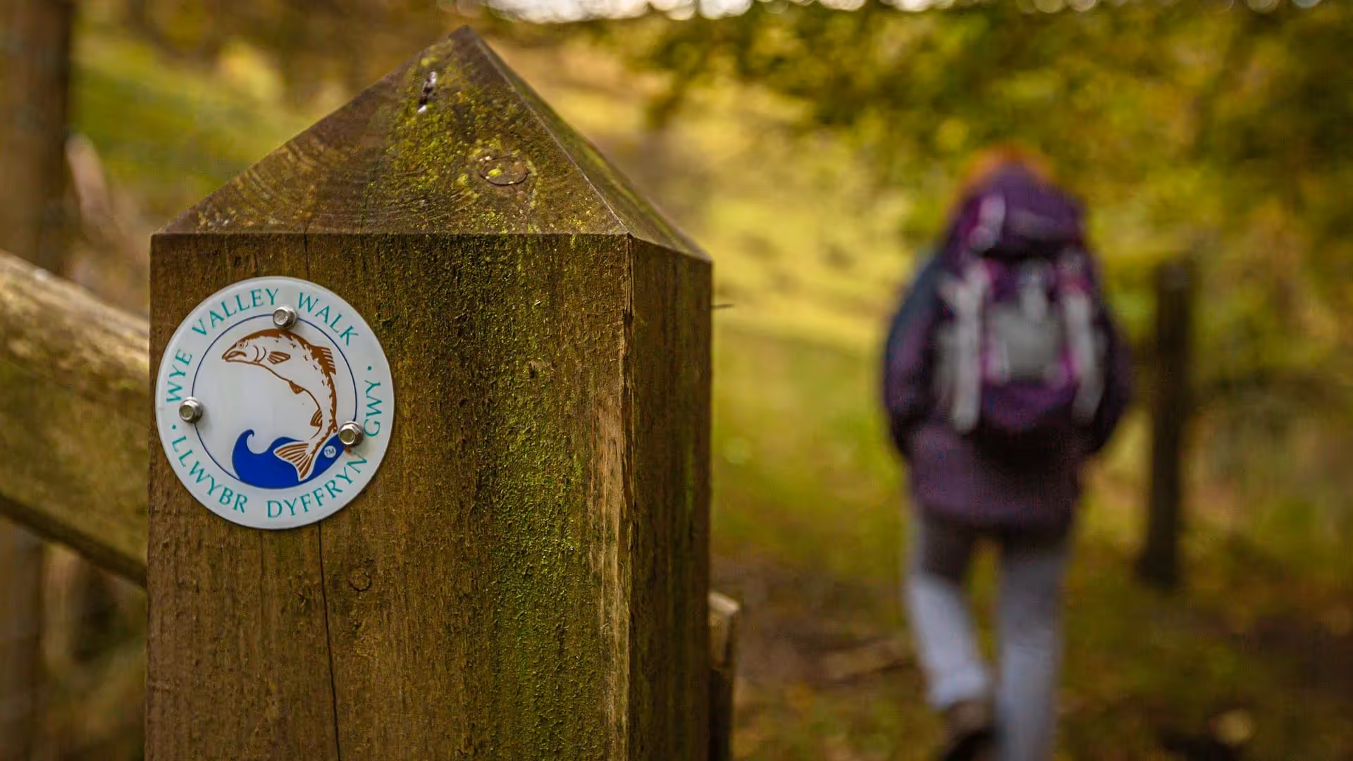
The UK has a unique network of paths that the public can use - the Public Rights of Way network, which are marked on Ordnance Survey maps. Along the Wye Valley Walk you will see other waymarkers pointing to these other rights of way, which you can use to find places to eat and drink, reach accommodation and discover places of interest off the main Wye Valley Walk route. Most of the Wye Valley Walk follows official Public Rights of Way, which gives walkers a right of passage, but doesn't allow them to wander off the line of the path. There are also permissive sections of path where owners have agreed for them to be used. Since 2020 and the Countryside and Rights of Way (CROW) Act, there is a new 'right to roam' on mapped areas of 'open country'. 'Open country' means mountain, moorland, heathland, downland and registered commons and includes a large part of Plynlimon.
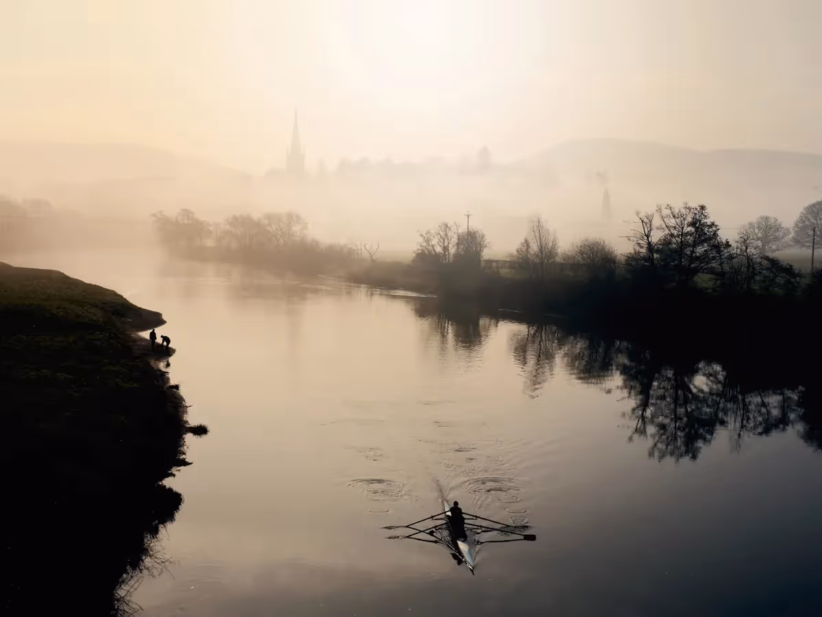
The official Cicerone Guide has route instructions which run from source to sea, starting on Plynlimon and finishing in Chepstow. Many people choose to walk from source to sea, as it feels 'right' to finish at the sea and more of a pilgrimage! There are the more practical benefits to finishing the walk in Chepstow where you can celebrate your achievement in a local pub or restaurant and catch a bus or train home.
As the walk is waymarked it works both ways. There is no right or wrong way! If it works for you to start in Chepstow that's not a problem.
Historically the route developed as a short walk from Chepstow going north to Monmouth, but over 40 years the walk has been extended northwards with the final section to the Rhyd-y-benwch on Plynlimon being completed most recently.
The official guide book is available from Cicerone, who have been publishing walking guidebooks for over 50 years. This handy, pocket-sized guide includes route description, information about points of interest along the way and the OS mapping covering the route sections. The guide is prepared by the Wye Valley Walk Partnership, who work to conserve and enhance the natural beauty of the Wye Valley for future generations. It is available as a printed book, as an eBook or a bundle of both here
Although the route is waymarked you should carry a map too. The Cicerone Guide includes all the OS map extracts showing the route as well as GPX files to download. If you prefer the real thing you will need the 1:25,000 scale Ordnance Survey Explorer maps detailed below. Alternatively, you can download the OS app which also allows you to see where you actually are on the map!
Explorer 214 -Llanidloes and Newtown
Explorer 200 - Llandrindod Wells and Elan Valley
Explorer 188 - Builth Wells
Explorer OL13 - Brecon Beacons National Park (East)
Explorer 201 - Knighton Presteigne
Explorer 202 - Leominster and Bromyard
Explorer 189 - Hereford and Ross-on-Wye
Explorer OL14 - Wye Valley and Forest of Dean
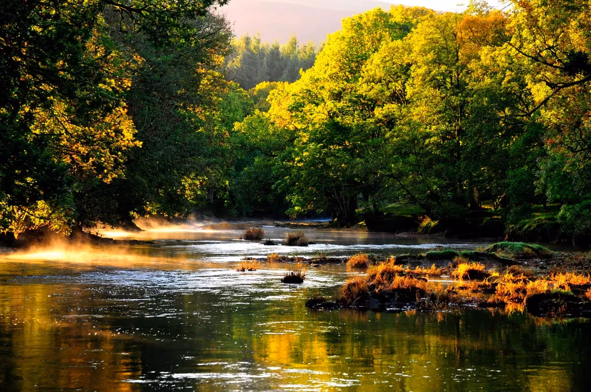
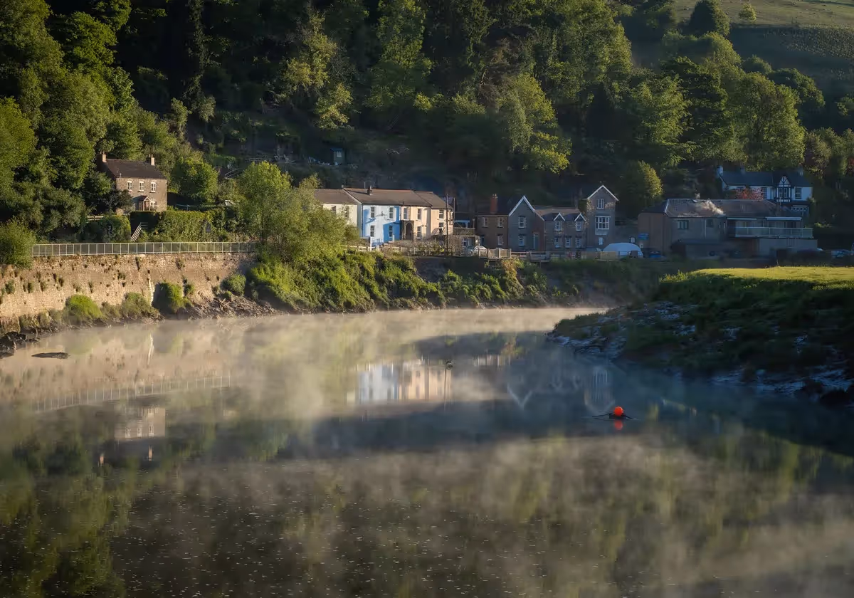
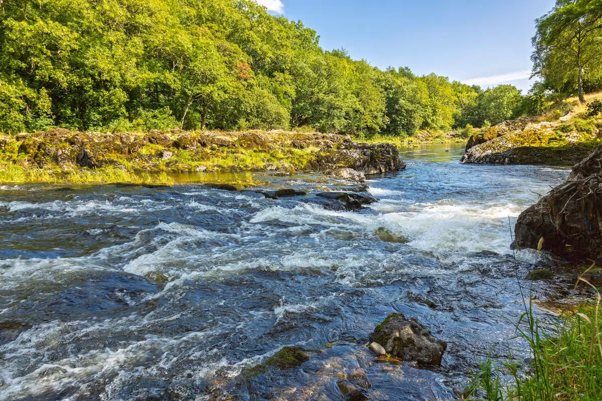
You can walk at any time of year, but some sections of the route may be flooded/ muddy/ slippery after heavy rain, especially in winter. Frosty winter days bring wonderful views as the trees have lost their leaves. The Wye Valley comes into bloom in April and May when bluebells, wood anemones and wild garlic flower and trees unfurl their lime green leaves. Summer brings beautiful traditional wildflower meadows and, in late summer, a purple haze of heather on many hilltops. The autumn colours of the ancient woods of the lower Wye below Symonds Yat are spectacular and an incentive for walking during the shorter days at the end of the year.
Check the weather forecast before you begin your walk each day, so that you are adequately dressed and prepared at: www.metoffice.gov.uk . Some parts of the route can be exposed to high winds, with little shelter from wind, rain and sun. The Wye does flood at times after extended periods of rain, usually during late autumn, winter and early spring.
Trains
The nearest train station to the start of the route is Caersws on the Cambrian line between Shrewsbury and Aberystwyth. (Buses run from Caersws to Llanidloes, the closest town to the start of the walk.)
Builth Road station is 5km off the path north of Builth Wells and Cilmeri station is 4km off the path to the west of Builth Wells (and on the same side of the Wye as the path) on the Heart of Wales line between Shrewsbury and Swansea.
Hereford station is on the Welsh Marches line between Shrewsbury and Newport.
Chepstow station, at the end of the walk, is on the Gloucester to Newport line .
Find times and prices at:
The river descends 2,230ft (680m) from source to sea.
Near Nantyhendy Hill, 1,575ft (480m) on Stage 2 and Merbach Hill, 1,043ft (318m) on Stage 8.
Buses serve most of the towns and villages en route, including Tintern, Monmouth, Ross-on-Wye, Hay-on-Wye, Rhayader and Llangurig and Llanidloes at the Northern end of the walk. This is a really useful site to find out which buses serve which towns and villages: bustimes.org
Yes, find details of taxis and baggage transfer options here
Although the walk criss-crosses the border between Wales and England, there's no need for a passport - but you can collect Wye Valley Walk Passport stamps along the way to mark your progress and claim your Wye Valley Walk Certificate and Badge. Find out about the Wye Valley Walk Passport here.
The walk starts (or ends) at the remote location of Rhyd-y-benwch which is not served by buses. You have 3 options:
- Use the Severn Way to walk the 8 miles (12.9km) from, or to, Llanidloes, which is well served by buses, including to the nearest railway station at Newtown.
- If finishing the walk at Rhyd-y-benwch you can retrace your steps to Llangurig which is on a main bus route.
- Use a taxi service (or friend) to be dropped off (or collected from) Rhyd-y-Benwch.
You may only cycle on a few stretches of the walk which are bridleways. Most of the walk is on public footpaths, where bicycles and horses are not allowed unless the landowner gives permission.
Stout waterproof shoes or walking boots
Waterproof clothing and a backpack
Food, but especially drinks
Mobile phone and maps
Protection from the sun
Cicerone Guide or OS Maps. Learn to read a map, in an emergency you may need to give someone a grid reference of your location. What3words is a useful app to download in case of emergency too: https://what3words.com/
Check the weather forecast so you are adequately dressed and prepared: www.metoffice.gov.uk
If you're walking with a dog, remember they should follow the line of the path and not be allowed to wander. It's an offence to allow a dog to attack, worry or chase livestock so it's best to keep it on a lead through sheep or cow enclosures or approaching farmyards. You will encounter livestock, including sheep, cattle and horses on much of the Wye Valley Walk as it crosses agricultural land. Remember these dos and don'ts:
Do - move quietly and calmly, keep your dog on a short lead, and try and walk around livestock, rather than through the middle of a herd, even if this means deviating from the line of the path.
Do - leave gates as you found them.
Don't - hang on to your dog if threatened by livestock (usually cattle). Let it go.
Don't - get between a cow and her calf.
Don't - panic. Most cows and horses will stop before they reach you. If, as they often do, they follow out of curiosity, just walk on quietly.
Not all stiles will be accessible for dogs
The Wye Valley Walk is not difficult or challenging for most of its length but there are some steep rocky sections, muddy hillsides and exposed mountain uplands, as well as gently undulating countryside and riverside paths. Make sure you are prepared and properly equipped. Know your own fitness level and plan a walk that suits this. If you are walking alone let someone know where you're going and where and when you expect to arrive at your destination. Parts of the Wye Valley Walk do not have good mobile phone reception.
A stretch of the path that can be enjoyed by people who are less mobile is at Whitestone Forestry Picnic site near Tintern. The Wonders of Whitestone trail climbs gently up from the car park with three viewpoints and benches where you can sit and take in the views across the Wye Valley. More info here:
We are also developing a route for off-road/all terrain wheelchair users on stage 12, just north of Ross on Wye.


It’s a fantastic achievement to walk all 136 miles. Mark the miles by keeping a record of your journey, collecting (digital) passport stamps along the route…
MAKE A PASSPORT
Subscribe to our Wye Valley AONB Newsletter